OnX and HuntStand are popular navigation apps targeted at hunters. OnX is renowned for its detailed land ownership maps, while HuntStand offers a variety of mapping tools and social features.
Exploring the great outdoors becomes an adventure with the right tools, and for many hunters, choosing between OnX and HuntStand is about finding the perfect companion for their hunting excursions. OnX stands out with its high-resolution satellite imagery and comprehensive property boundary information, ensuring that hunters stay informed and legal.
It is designed for those who prioritize land ownership details and require precise GPS mapping. HuntStand, on the other hand, boasts features such as weather forecasting, trail tracking, and its unique HuntZone technology to predict scent dispersal. Its user-friendly interface and social connectivity cater to hunters who value a collaborative approach and like to share their experiences with a community. Deciding between these apps depends on what the hunter values most: the meticulous detail of OnX or the community-centric approach and diverse features of HuntStand.
Credit: www.huntstand.com
Onx And Huntstand Face-off
The face-off between Onx and Huntstand is stirring excitement among hunters everywhere. With technology reshaping traditional hunting methods, these two apps are at the forefront, each offering a unique set of features tailored for the modern hunter. Who will come out on top in this face-off? It’s time to delve deeper into the world of hunting tech to see which app boasts the better tools for tracking, planning, and executing the perfect hunt.
The Rise Of Tech In Hunting
Hunting has entered a new era with the advent of innovative technologies. Digital mapping, GPS tracking, and other features are now essential. Both Onx and Huntstand tap into this trend, providing hunters with powerful tools right at their fingertips. These apps are revolutionizing the way hunters interact with the wilderness.
Key Features Compared
When evaluating Onx and Huntstand, certain features stand out. Here’s a sneak peek into what each platform has to offer:
- Mapping: Onx boasts high-resolution topographic maps while Huntstand offers a variety of map options.
- Property Boundaries: Both apps provide detailed private and public land boundaries to keep hunters legal and informed.
- Waypoint Marking: Users can mark waypoints, but Onx provides more customization options.
- Weather Integration: Huntstand shines with its integrated weather features, giving hunters an edge with conditions.
Below, find a side-by-side comparison for a clearer picture:
| Feature | Onx | Huntstand |
|---|---|---|
| Offline Maps | Available | Available |
| Landowner Info | Comprehensive | Limited |
| Trail Camera Integration | Not Available | Available |
With the rise of tech in hunting, choosing the right app can make all the difference. Hunters now have the tools to navigate the outdoors more efficiently, respecting land boundaries, and monitoring weather conditions. This Onx and Huntstand face-off highlights the advancements in hunting technology and how these apps provide different but equally compelling experiences for the avid outdoorsman.

Credit: m.youtube.com
Navigating The Wild
Explorers and hunters alike understand the value of a reliable map. Embarking on a wilderness adventure requires tools that provide clear directions, vital information, and a sense of safety. Whether chasing game or hiking trails, choosing the right mapping service is key. OnX and HuntStand serve as trusty companions, guiding through dense forests and rugged terrains. Let’s delve into what each platform offers.
Mapping The Terrain: Onx Maps
OnX Maps shine in delivering top-notch GPS mapping. Think of OnX as a digital guide that never loses its bearings. Here’s why users love OnX:
- Accurate land boundaries help avoid trespassing.
- Offline maps ensure navigation without cell service.
- Mark points of interest with easy-to-use waypoints.
- Detailed topography leads the way on steep climbs and descents.
- Tracks cover distance, speed, and time to boost hiking efficiency.
OnX Maps empowers users with layered data, including public and private land details, water data, and weather updates. These features bring confidence when traversing unknown pathways.
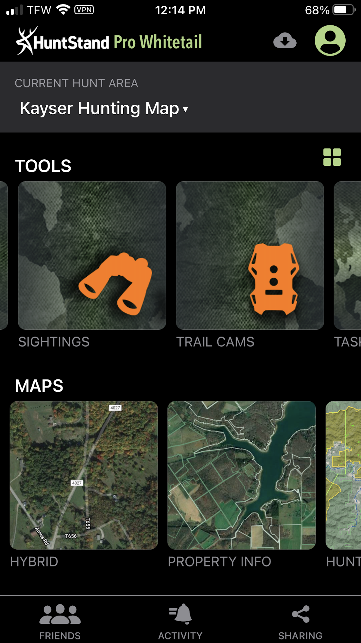
Exploring With Huntstand
HuntStand offers a comprehensive suite for outdoor adventures. Its special features include:
| Feature | Description |
|---|---|
| Scent Drift | Visualize how scents drift in real-time. |
| Hunting Land | Locate and choose the best hunting spots. |
| Social Sharing | Share experiences with a vibrant community. |
| Weather Interface | Plan with detailed weather forecasts. |
With HuntStand, discover trails and tracks suitable for any season. It’s a tool that connects hunters and nature enthusiasts with an expansive network of map data and social features.
Tech Meets Tradition
The digital revolution touches all aspects of life, even the time-honored practices of hunting. Tech Meets Tradition in today’s hunting landscape, blending ancient skills with modern tech. Hunters have long relied on their instincts and knowledge passed down through generations. They now arm themselves with the latest digital tools to track, plan, and communicate. Two major apps, Onx and Huntstand, lead the field in integrating this tech into the heart of hunting culture.
Community And Social Features
Hunters thrive in communities—sharing stories, tips, and experiences.
The Onx app stands out with:
- Map sharing for coordination
- Tracking friends’ locations for safety
- Waypoints to mark terrains and trails
On the other hand, Huntstand shines with its:
- Social feed for updates and achievements
- Hunt group creation for collective planning
- Landowner info for outreach and permissions
Integration With Hunting Gear
Being prepared is key. Tech enhances this preparation.
Onx impresses with features like:
- Weather forecasting for hunt planning
- GPS functionality for disconnected use
- Customizable maps for gear-specific needs
Huntstand, in turn, offers:
| Feature | Description |
|---|---|
| Trail Camera Management | Sync and manage camera captures |
| Gear-specific Maps | Maps for firearms, bows, or stands |
| Scouting Assistance | Log sightings and patterns |
Sustaining The Hunt
For the modern hunter, technology is a faithful companion in the wild. Onx and HuntStand lead the pack in digital hunting tools. They assist hunters in sustaining their hunt from start to finish. This is crucial for success. Let’s delve into how these apps can help you plan better and track game more effectively.
Weather Predictions And Planning
Weather greatly affects a hunting trip. With OnX and HuntStand, hunters access real-time weather updates. They plan accordingly. These apps offer:
- Hourly forecasts, letting you choose the best hunting times.
- Wind direction, key for stalking prey undetected.
- Temperature and precipitation data, to prepare for the environment.
- Barometric pressure readings, helping predict animal behavior.
Both apps feature detailed weather overlays. Users view the effects on specific hunting areas. Smart planning equals better hunts.
Tracking Game Effectively
Knowing animal movement patterns increases your success. OnX and HuntStand offer tools for this. Key features include:
| Feature | OnX | HuntStand |
|---|---|---|
| Trail Mapping | ✓ | ✓ |
| Animal Activity Logs | ✓ | ✓ |
| Heat Maps | Limited | ✓ |
| Game Calling Features | ✓ | ✓ |
GPS tracking helps hunters navigate. It keeps note of animal sightings and signs. These features transform the hunting experience. They put you at the right place at the right time.
The Verdict
Picking the right hunting app can be tricky. Onx and HuntStand both offer great features. Which one is better for you? Let’s dive into the details to find out.
Ease Of Use And Interface
Onx stands out with its sleek design. It’s user-friendly, perfect for beginners. Clear maps and easy navigation make it a top choice.
HuntStand, on the other hand, provides a robust set of tools. It may need some getting used to, but it’s highly effective once mastered.
- Onx: Intuitive menus, quick access to features.
- HuntStand: Customizable but complex interface.
Subscription Costs And Value
| Feature | Onx | HuntStand |
|---|---|---|
| Price | Higher | Lower |
| Free Trial | Available | Available |
| Map Quality | Better | Good |
| Additional Features | Fewer | More |
Onx may have a higher subscription cost, but its superior map quality justifies the price for many users.
HuntStand offers a lower cost and more features. This is good for those needing advanced options.
Credit: www.outdoorlife.com
Frequently Asked Questions On Onx Vs Huntstand
Which Is More Accurate, Onx Or Huntstand?
Onx is renowned for its high-precision maps and accurate land ownership details. Huntstand, while offering reliable maps, may not match Onx’s level of accuracy in property boundaries and topographic details.
Does Onx Offer Better Features Than Huntstand?
OnX provides advanced features such as property boundary mapping, offline GPS, and detailed topographic layers. Huntstand also offers useful tools like weather forecasts and social sharing, but may have fewer advanced mapping features.
Is Huntstand More Affordable Than Onx?
Huntstand generally offers a more cost-effective solution with flexible pricing options. Onx might come at a premium price due to its extensive mapping capabilities and advanced features.
Can Onx And Huntstand Be Used Offline?
Both Onx and Huntstand offer offline map capabilities. Users can download maps in advance to navigate and mark waypoints without an internet connection.
Conclusion
Deciding between Onx and Huntstand can shape your hunting experience. Both offer robust features, but your preferences matter. Assess your needs and trial each app. Whatever your choice, you’re equipped for the next adventure. Happy hunting and stay safe in the wild!